Horizon & tilt correction
A drifting horizon is the fastest way to make an expensive aerial look amateur. Every shot is levelled.
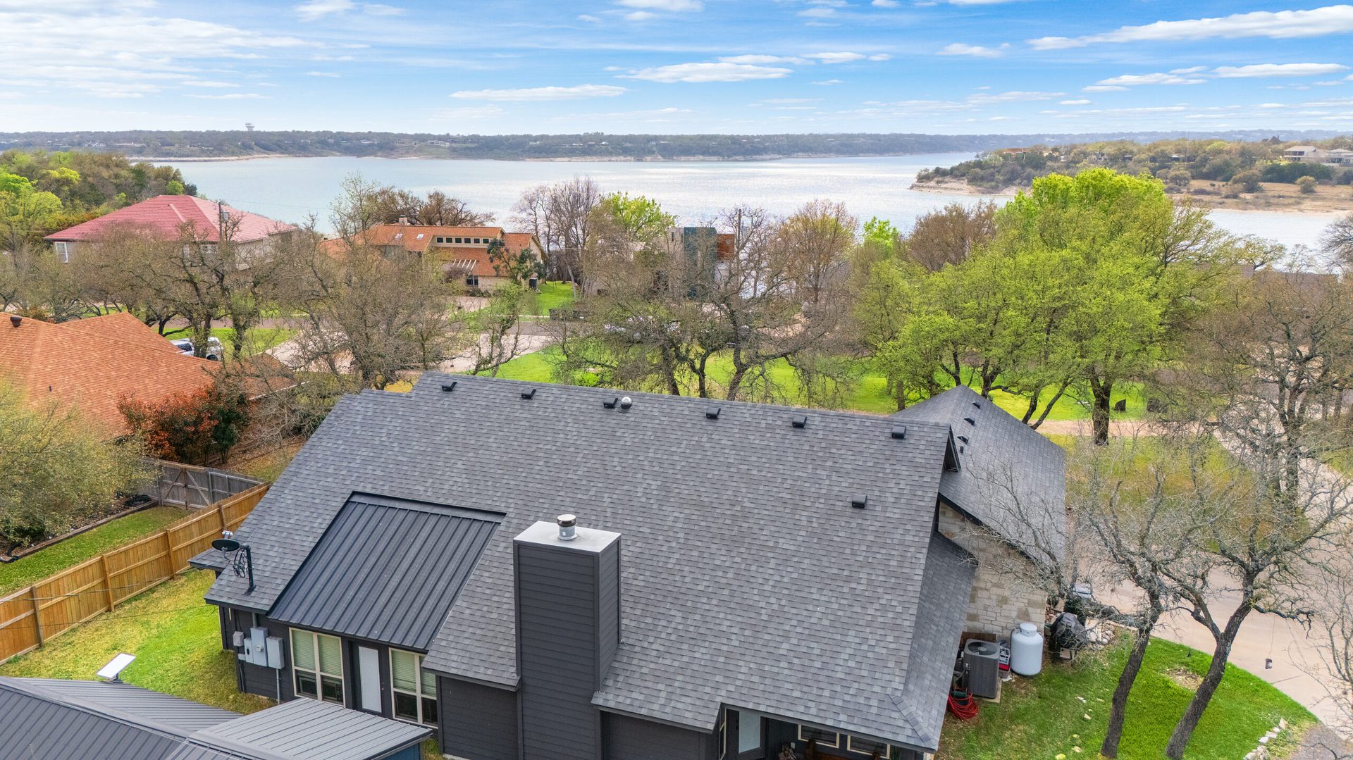
Drone video
Flying is the easy half. The edit is where a set of orbits becomes a listing video that establishes the lot, the setting and the approach — matched to the footage you shot on the ground.
Why aerials underperform
The shots are fine individually. Strung together unedited, they tell a buyer nothing about the property.
Aerials are context: this is where the house sits, this is the lot, this is what the street and the view look like. Used that way, thirty seconds of air time raises the whole edit. Used as filler, it is a minute of rooftop no buyer needed.
Technically, aerials also need the most repair. Horizons drift, haze flattens everything past the first hundred metres, exposure moves as the aircraft turns, and drone log profiles look nothing like the interior footage until they are graded to match.
What is included
A drifting horizon is the fastest way to make an expensive aerial look amateur. Every shot is levelled.
Atmospheric flatness at altitude cleaned up so the treeline, the water and the roof lines read properly.
Orbits swing through the sun and the exposure moves with them. Those shifts are evened out across the move.
Aerials and interiors finished to one look, so the cut from sky to living room does not change the film.
The establishing shot opens, the reveal earns its place, and the lot pass appears where it actually helps.
The finished edit lands in the same client gallery as the stills — no separate transfer link.
Fly for it
FAQ
With them. An aerial-only edit rarely sells a property — the aerials establish the location and the lot, then the walkthrough sells the interior. Both are cut into one listing video.
Horizon levelling, haze and flat contrast at altitude, colour that drifts as the drone turns through the sun, and the log or flat profile most drones record in.
Three or four deliberate moves is usually plenty: a high establishing orbit, a reveal toward the property, a boundary pass showing the lot, and the feature — water, view, acreage.
Yes. Send it flat and ungraded rather than baking in a look on the drone; there is far more room to match it to the ground footage that way.
No. You fly — legally and licensed for your jurisdiction — and we edit. Aerial capture, permissions and airspace compliance are yours.
Upload the aerials with your ground footage and get one finished edit back.